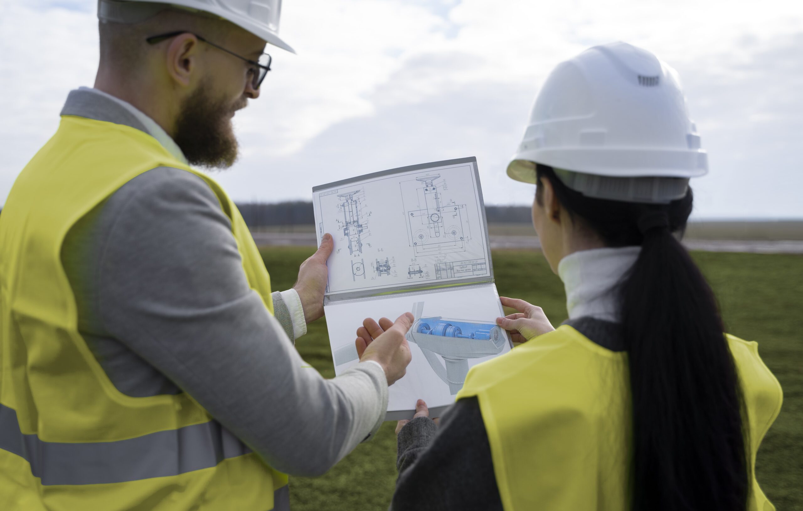
Get Contour Surveys for Informed Planning
Craft your projects with confidence using our contour survey accuracy.
VijayInfra offers a contour survey service to avoid any future issues. Imagine seeing your land’s topography unfold on a detailed map, revealing slopes, valleys, and elevation changes with precision. Our experts use advanced technology and a skilled team to ensure a reliable contour survey.
Our experts help in finding how the ground should look, designing drainage systems, and calculating the amount of soil to be moved for industrial buildings. Our skilled team members ensure a stronger and wider road.

What Benefit You Will Get With Us
With us, you’re not just getting lines on paper; you’re gaining a strategic advantage. Our experts have expertise in delivering the project at the right time. Our goal is to ensure accurate results for various projects.

Access of Technology
We utilize sophisticated tools and technology to ensure accurate and reliable data for informed decision-making in various projects.

Project Planning Support
We help in overall project surveys whether it’s for residential development, landscaping, or infrastructure projects.

Professional Execution
Our services are executed by a team of professionals that ensures a high level of expertise and quality in every aspect.
We Deliver Accurate Contour
Survey Service To Our Customer
Navigate Success with,
Our Contour Insight
At VijayInfra, our dedicated experts are available to you to provide the best contour survey service at an affordable price. We stand out because
Explore Other Contour Survey Services We Offer
VijayInfra does not only best in delivering one survey service but also offers a variety of services. We have expertise in each Contour Survey service to successfully complete your project.
Land Survey
Get a clear survey of your land and define accurate boundaries to prevent disputes in the future.
Land Demarcation
We analyze all the documents perfectly and mark all boundaries with accuracy for your land.
Estimate Work Volume
Make your construction confident and save your time with our reliable estimates of work volume.
Drone Survey
We capture and calculate the data from drones to make the best decision before construction.
GPS Survey
Get a survey to identify pinpoint locations precisely to make construction planning accurate.
Road & Bridge Survey
Get Inspection of your roads, land, and area to make your construction safe and well-maintained.
Traffic Survey
Understanding traffic patterns, identifying land, and analyzing roads to make your project successful.
Building Survey
Whether renovating or starting anew, our building surveys help to make your building stronger.
Image processing
Get help in the analysis of a variety of different images to identify potential ideas without any risk.
