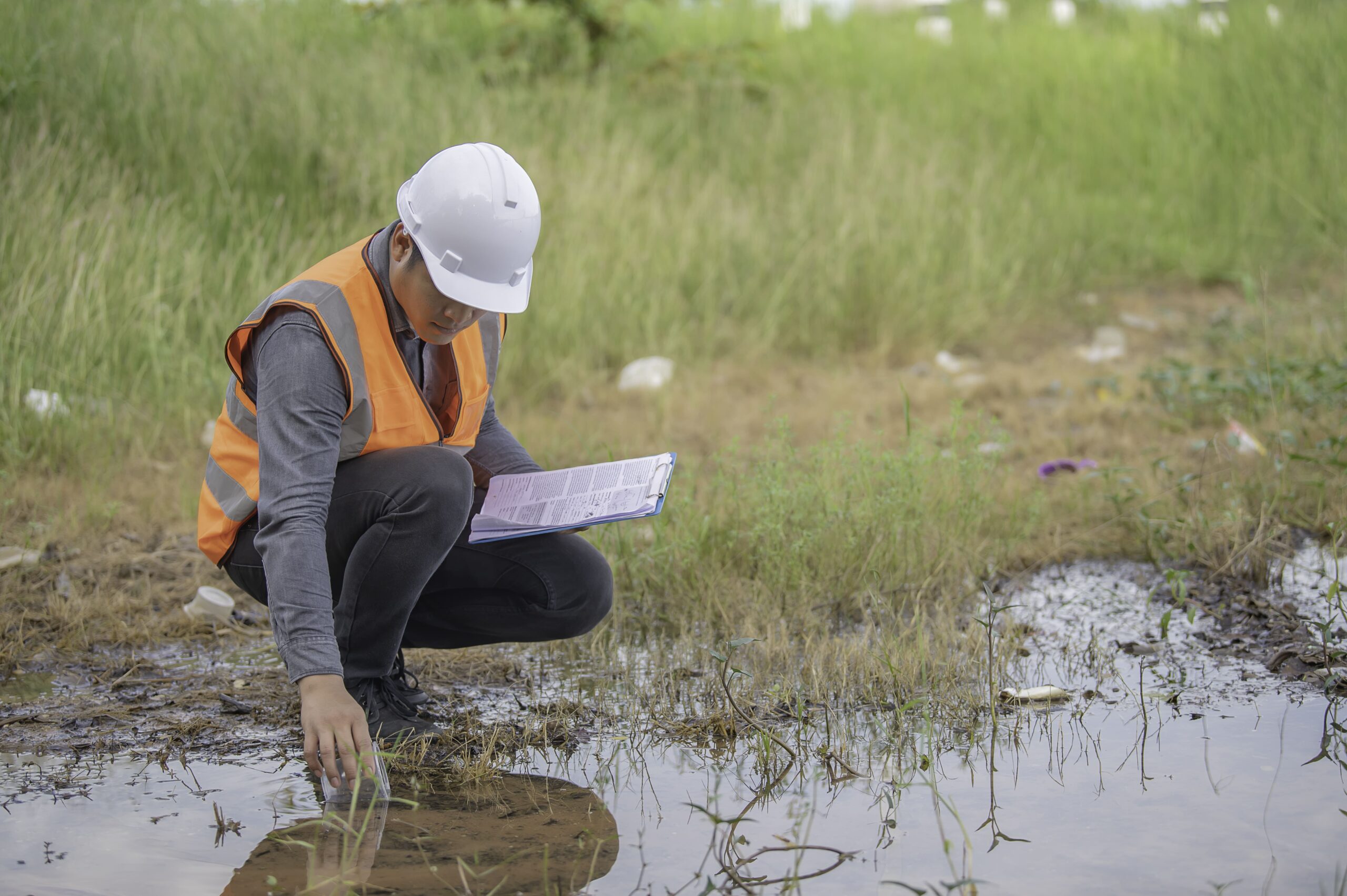
Optimize Construction Planning with Our Riverbed Surveys
Our detailed river bed survey report helps to build a stronger foundation for your project
A riverbed survey involves studying and mapping the characteristics of a river bed survey. Vijayinfra Projects Pvt Ltd has built expertise in surveying services all over India over the last 10 years. We are offering accurate riverbed survey reports that include precision topographical maps, the base of mud filling, material changes, pipeline crossings beneath, and sub-water geological explorations.
We are fully equipped with skilled divers and advanced technologies. We make sure to deliver accurate river bed survey reports even in wet environments. Also, We conduct environmental impact studies to understand and address ecological effects.

Step Up Your Construction Future with us
We specialize in riverbed survey services to make your projects successful. We have expertise in assessing riverbed characteristics and ensuring vital information for project planning.

Safety Assurance
We are prioritizing safety by considering riverbed conditions that help to prevent potential hazards and create a secure construction environment.

Flood-Ready Designs
Be at the forefront of construction innovation. Our surveys make sure a resilient structure to make it strong against the forces of nature.

Precision for Planning
We offer a customized construction plan as per your unique characteristics of riverbeds to ensure a strategic and well-informed approach.
We ensure accuracy with River bed
Survey for our customers
Our experienced team is comfortable with cutting-edge technology to deliver accuracy and strategic insights for your construction project.
Our Commitment to Accuracy,
Sets Us Apart
VijayInfra has been a trusted and reliable riverbed survey service provider for the last many years. You can trust us to get accurate data to enhance the success of your project. We stand out from the crowd because
Accurate Delivery on Time
Decades of Expertise
In-depth survey report
Explore Other Survey Services We Offer
VijayInfra does not only best in delivering one survey service but also offers a variety of services. We have expertise in each river bed survey service to successfully complete your project.
Land Survey
Get a clear survey of your land and define accurate boundaries to prevent disputes in the future.
Land Demarcation
We analyze all the documents perfectly and mark all boundaries with accuracy for your land.
Contour Survey
Complete your project from every angle to make it successful with the help of a contour survey map.
Estimate Work Volume
Make your construction confident and save your time with our reliable estimates of work volume.
Drone Survey
We capture and calculate the data from drones to make the best decision before construction.
GPS Survey
Get a river bed survey to identify pinpoint locations precisely to make construction planning accurate.
Road & Bridge Survey
Get Inspection of your roads, land, and area to make your construction safe and well-maintained.
Traffic Survey
Understanding traffic patterns, identifying land, and analyzing roads to make your project successful.
Image processing
Get help in the analysis of a variety of different images to identify potential ideas without any risk.
Want to Plan Your Construction With Confidence?
We offer a complete survey solution for buildings, large apartments, highways, infrastructure, and water supply. Trust us to make your planning successful.
