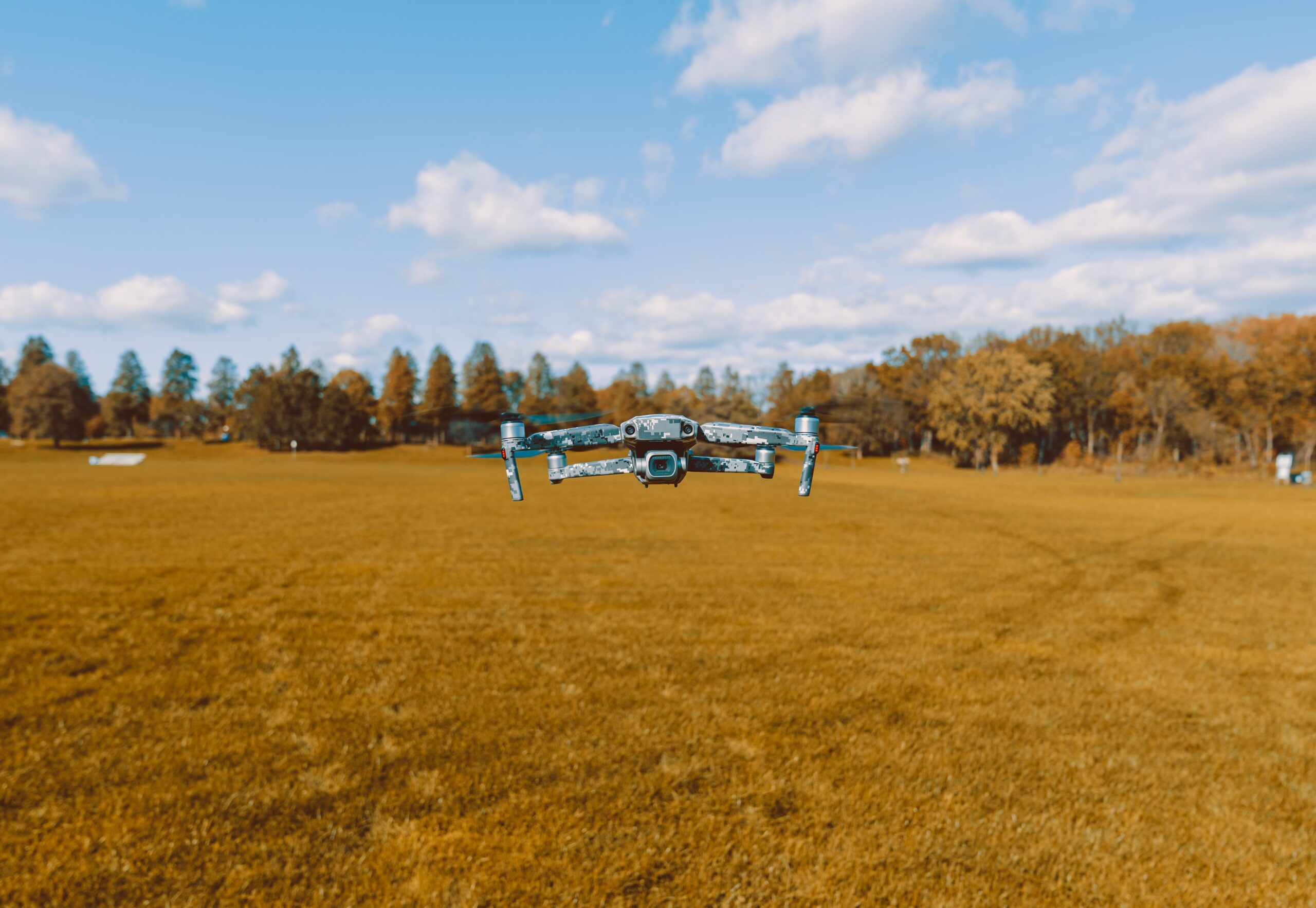
The Power of Drone Surveys Before Construction
From site analysis to precision mapping and drone Surveying we bring clarity to your project
VijayInfra is a leading drone surveying service provider company with accuracy. Our drone survey service offers a comprehensive site analysis with complete accuracy. Our engineers are known for providing invaluable aerial insights, minimizing on-site revisions, and optimizing resource allocation. We believe in getting it right the first time. Drone Surveying
A drone surveying can gather much better data for land in less time. Our experts are not only collect data for precise topographic maps but also provide strategic guidance to make construction planning more optimized.

Step up Your Construction Game With VijayInfra
You can construct your building confidently after getting a complete survey report of your land. From topographic mapping to site assessments, our drone surveying covers it all.

Time and Cost Savings
We believe in getting it right the first time. Streamline the survey process, minimize on-site revisions, and optimize resource allocation.

Ensure Higher Safety
Our aerial mapping captures the accurate data from each corner, delivers 3D info, and analyzes large-scale terrain details flawlessly.”

Expert Guidance
Our specialists ensure a smooth data collection, providing valuable insights, and optimized construction planning for your project’s success.
We deliver projects with expertise
precision, and innovation
Get a consultation from experts and experience the difference that our Drone Survey Service can make for your construction endeavors!
Start Construction with,
Confidence With VijayInfra
Choose VijayInfra Project Pvt Ltd for clear project success. Our experts ensure accurate surveys and guides to build your construction with confidence.
Proven Track Record
Large Team of Experts
Accuracy in Result
Explore Other Survey Services We Offer
VijayInfra does not only best in delivering one survey service but also offers a variety of services. We have expertise in each drone surveying service to successfully complete your project.
Land Survey
Get a clear survey of your land and define accurate boundaries to prevent disputes in the future.
Land Demarcation
We analyze all the documents perfectly and mark all boundaries with accuracy for your land.
Contour Survey
Complete your project from every angle to make it successful with the help of a contour survey map.
Estimate Work Volume
Make your construction confident and save your time with our reliable estimates of work volume.
GPS Survey
Get a survey to identify pinpoint locations precisely to make construction planning accurate.
Road & Bridge Survey
Get Inspection of your roads, land, and area to make your construction safe and well-maintained.
Traffic Survey
Understanding traffic patterns, identifying land, and analyzing roads to make your project successful.
Building Survey
Whether renovating or starting anew, our building surveys help to make your building stronger.
Image processing
Get help in the analysis of a variety of different images to identify potential ideas without any risk.
Want to Plan Your Construction With Confidence?
We offer a complete survey solution for buildings, large apartments, highways, infrastructure, and water supply. Trust us to make your planning successful.
