Visualize Your Future Project With GIS & CAD Service
Get a detailed analysis of the area where you want to create your next project
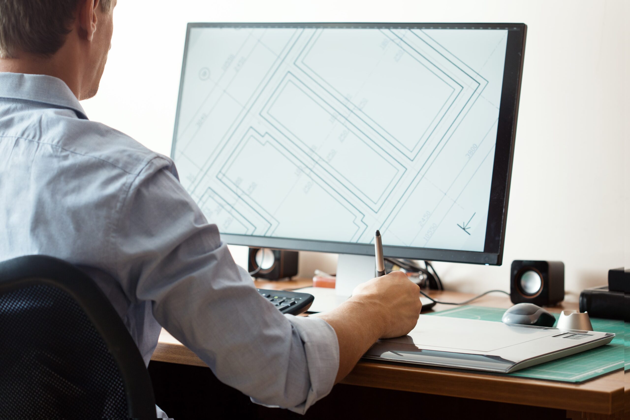
GIS and CAD services are used to create, analyze, and manage collected data. VijayInfra’s experts are familiar with these advanced tools and technology. They use this collection to analyze and identify all the potential aspects to plan your construction. They create 3D visualization and detailed mapping of your project.
The interesting thing about our GIS & CAD service is to create an optimized plan based on understanding patterns, trends, future goals, and relationships of the location. In our team, we have GIS & CAD engineers, architecture, construction analysts, designers, and other employees who ensure the timely delivery of GIS & CAD projects based on your needs.

Explore Our GIS & CAD Service To Craft Your Plan
The perfect plan depends on the data we have collected and the calculation of that data. We analyze this data to efficiently manage future work planning and craft 3D models.

Project Visualization
Visualize your project in 2D drawings or 3D models based on collected data and surveys before construction with GIS technology.

Technical Expertise
Our well-trained staff has completed hundreds of projects. They are familiar with trendy designs, updated systems, and useful tools.

Accuracy
We analyze all the risk possibilities from the gathered data and map a perfect plan for our customers with accuracy.
We Analyze Data With Accuracy
For every Project We Plan
From geographical survey to analysis, we ensure accuracy in everything. No matter which type of construction you want our experts will help.
Visualize Your Future Plan,
With Accuracy
VijayInfra has been a trusted company over the last many years in the space of construction. You can explore our benefits, GIS & CAD services, reviews, and previous projects to value the service we offer.
Proven Track Record
Accuracy in every project
Expertise in technolgy
Explore Other Survey Services We Offer
VijayInfra does not only best in delivering one survey service but also offers a variety of services. We have expertise in each survey service to successfully complete your project.
Land Survey
Get a clear survey of your land and define accurate boundaries to prevent disputes in the future.
Land Demarcation
We analyze all the documents perfectly and mark all boundaries with accuracy for your land.
Contour Survey
Complete your project from every angle to make it successful with the help of a contour survey map.
Estimate Work Volume
Make your construction confident and save your time with our reliable estimates of work volume.
Drone Survey
We capture and calculate the data from drones to make the best decision before construction.
Road & Bridge Survey
Get Inspection of your roads, land, and area to make your construction safe and well-maintained.
Traffic Survey
Understanding traffic patterns, identifying land, and analyzing roads to make your project successful.
Building Survey
Whether renovating or starting anew, our building surveys help to make your building stronger.
Image processing
Get help in the analysis of a variety of different images to identify potential ideas without any risk.
Want to Plan Your Construction With Confidence?
We offer a complete survey solution for buildings, large apartments, highways, infrastructure, and water supply. Trust us to make your planning successful.
